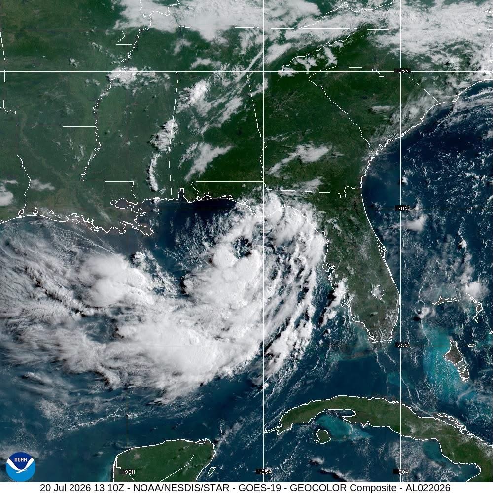
Tropical Depression Two is forecast to strengthen into a tropical storm later today as it slowly tracks across the northeastern Gulf of Mexico, according to Antigua News Room. The system has prompted tropical storm watches and raised serious concerns about flooding, storm surge, and dangerous surf along sections of the U.S. Gulf Coast.
As of 7 a.m. CDT Monday, the depression's center was positioned approximately 210 miles southeast of Mobile, Alabama, moving northwest at just 3 mph with maximum sustained winds of 35 mph. Air Force Hurricane Hunter aircraft are actively investigating the system as forecasters continue to monitor its development.
Forecasters expect the system to strengthen gradually as it moves near or along the northern Gulf Coast over the coming days. A turn toward the west-northwest and then west is anticipated following the storm's initial slow northwestward movement.
A tropical storm watch remains in effect for portions of the Florida Panhandle, Alabama, and Mississippi, where tropical storm conditions are possible beginning tonight into Tuesday.
Storm surge of 1 to 3 feet is possible along parts of Florida's Gulf Coast, Mobile Bay, and the Alabama-Mississippi coastline. Heavy rainfall of 2 to 4 inches — with isolated totals reaching up to 6 inches — is expected through Friday, stretching from western Florida to the middle Texas coast, including southern Alabama, Mississippi, and Louisiana. Forecasters warn that the rainfall could trigger flash flooding, particularly in urban areas.
Swells generated by the depression are already impacting portions of Florida's Gulf Coast and are expected to spread westward, producing life-threatening surf and rip current conditions in affected areas.